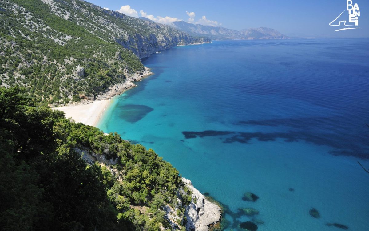
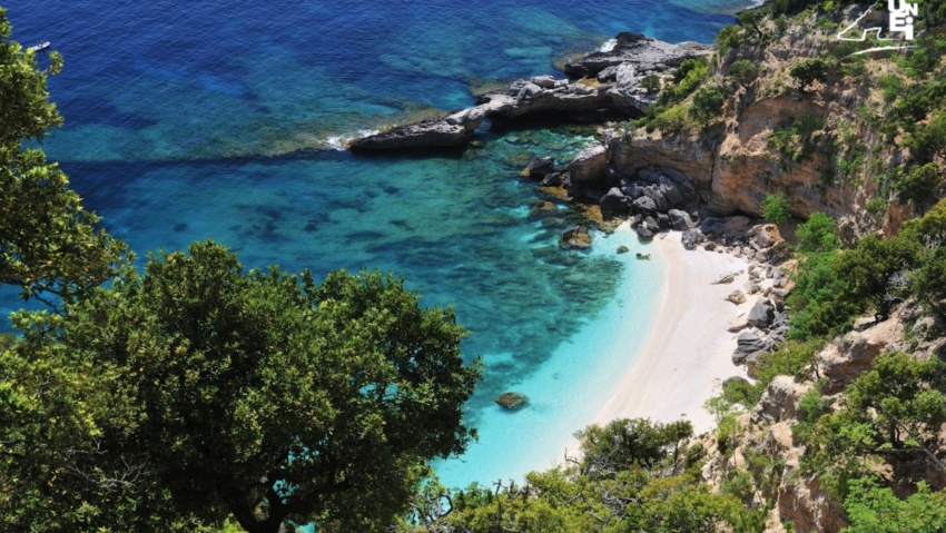
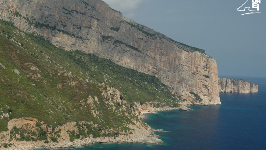
Cala Sisine
Cala Sisine is, without doubt, along with the more famous Cala Luna, one of the most interesting beaches on the coast of Baunei, both due to its size (it is more than 100 metres deep and 500 metres in length), making it by far the most spacious beach on the coast, and its particular hydrogeological history, given that it appears the beach did not exist until the mid-nineteenth century. Set between the rocky promontory of “Punta Plummare” (415 metres high) and the coast of “Dolài”, the beach is the result of the accumulation of rocky debris at the mouth of the “Codula Sisine” stream. Every year during the winter rains, the stream swells significantly, dragging everything in its path downstream along its route from the Golgo plateau to the sea. The certainty that the current beach is the result of extraordinary flooding after 1850 is due to the fact that the maps of the “La Marmora – De Candia Cadastre”, dated 1849 and kept in the State Archives in Cagliari, reveal that at that time Cala Sisine appeared as a cove that penetrated the coastline for hundreds of metres: a true natural harbour. Over the following decades, floods, similar to the one in November 2008 that created Mudaloru beach, progressively moved the coast line forward until it joined the two promontories of Plummare and Dolài. An interesting reproduction of the nineteenth-century map, which clearly shows the profile of the now buried Sisine cove, can be seen in the hall of the Baunei “Documentation Centre” dedicated to the “La Marmora – De Candia Cadastre”.
Between the nineteenth and twentieth centuries, the Sisine inland was also the scene of constructions by the coalmen, who built a pantry like the one in Birìala a short distance from the beach from which coal was loaded onto ships. In 1977, the “Su Coile” tavern was built on the ruins of the pantry, mimicking the architectural structure of traditional Baunesis fold huts. During those years, a campsite was built in the woods near the beach, although it was literally blown away by floods in the nineties. Cala Sisine is also accessible by land starting from the Golgo plateau, along the dirt road that branches off to the right 200 metres before the church of St. Peter. From this point onwards, the road flanks the “Codula” for long stretches until it reached the “Planu ‘e Murta” (“the myrtle plateau”) clearing-car park, where there is a path that takes about half an hour (just over a kilometre’s walk) to get to the beach.
How to reach Cala Sisine
Cala Sisine can also be reached by land from the Golgo plateau, following the dirt road that branches off on the right 200 meters before the Church of San Pietro. From this point on begins the about 13 km long road that runs along the “Codula” for long stretches until the parking space of “Planu ‘e Murta” (“the myrtle plateau”), where a path begins which in about half an hour (little more than one km walk) leads to the beach. The “Planu ‘e Murta” parking space can be reached only by off-road vehicles or “4×4”, if you have a common car, you must park in the parking area located in the locality “Ololbissi”,from there you’ll walk for about 8 km to reach the beach.
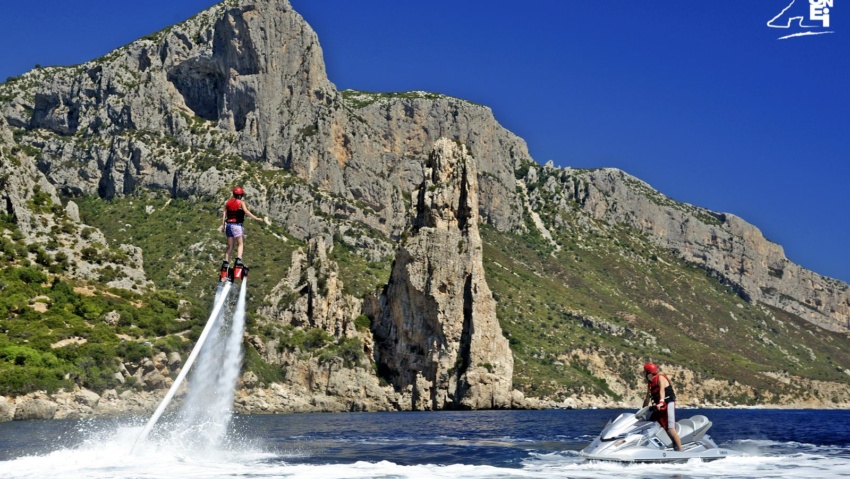
RELATED POST
The beach of “Cala Birìala” (called “Birìola” by the Cala Gonone fishermen) was one of the beaches most often visited by monk seals.

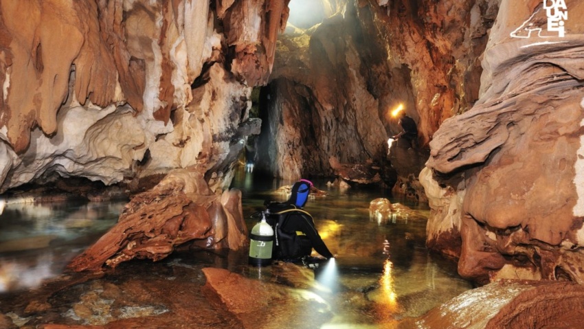
The “Grotta dei Colombi” is only accessible by sea and in order to see the stunning majesty of the vault up close, it is necessary to sail very close to the cliff.
The promontory of Capo Monte Santu marks the southern border of the Gulf of Orosei, whose northern border is at Capo Comino.

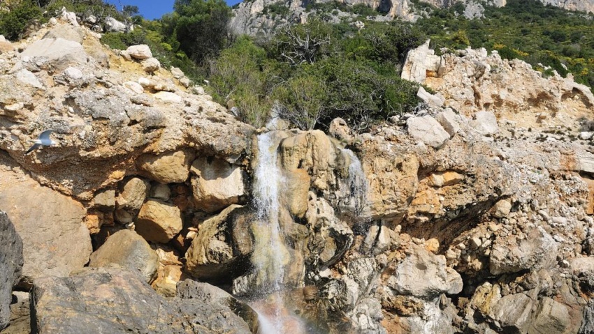
Venus’ Pools, located on the coast of Baunei, a short distance from Grotta del Fico and Cala Biriala, crystal clear water.
Cala Goloritzé, Baunei Coast: spectacular beach framed by limestone, crystal clear sea and mountains. A popular destination for excursions and climbing.
Along the coastline, a few miles north of Santa Maria, is the limestone peak of “Pedra Longa”.

Divided into two parts by a large rock used as a docking pier by the barges carrying tourists, it is now known by the double name of ‘Ispuligidenie – Cala Mariolu’.

‘Cala dei Gabbiani’ (Seagull Cove): this beach, about 250 metres long, owes its name to the fact that dozens of seagulls gather here every evening around sunset.
Sailing northwards, about a mile away from the ‘Mudaloru’ beach, is the ‘Grotta del Fico’ (Fig Cave), which opens up in the limestone cliffs, about 10 metres above sea level.
To the north of Pedra Longa is “Forrola” bay, dominated by the majestic “Punta Giradili”, which, at 765 metres, is one of the highest cliffs in the Mediterranean.
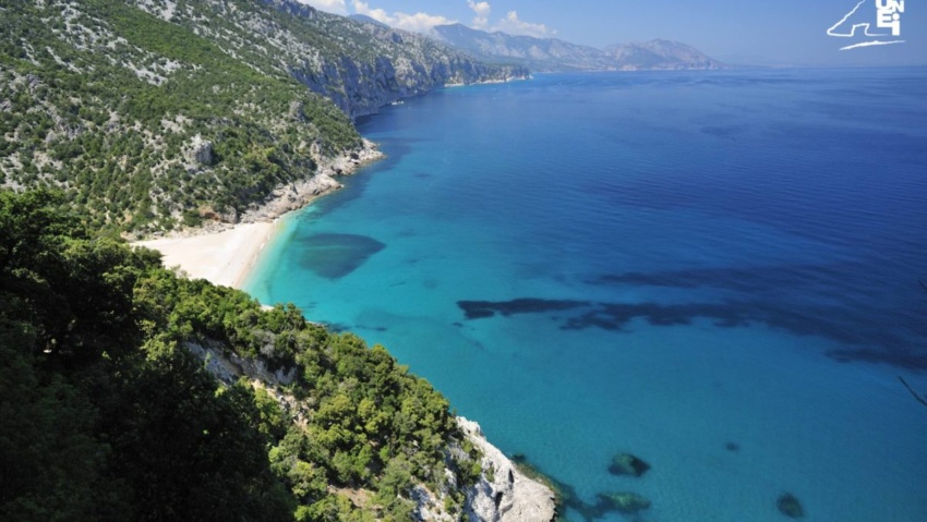
Cala Sisine is, without doubt, along with the more famous Cala Luna, one of the most interesting beaches on the coast of Baunei.
The roughness of navigation along the cliffs of Capo Monte Santu has been known since antiquity, and many historians identify this stretch of the east coast with the ‘Insani Montes’ mentioned by numerous authors, especially in connection with tragic shipwrecks.