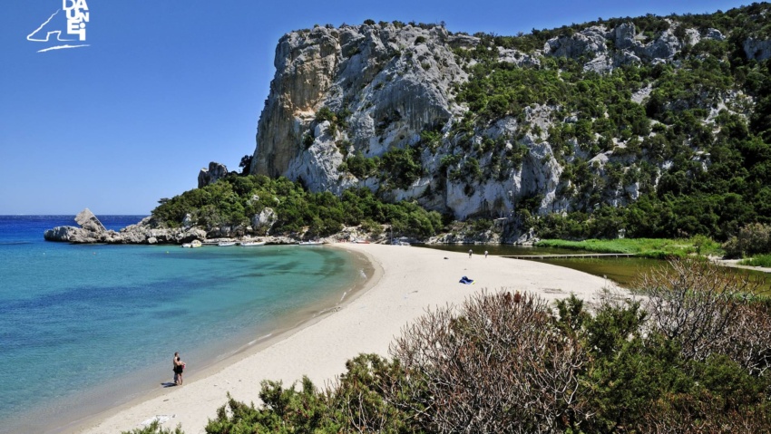
Pedra Longa
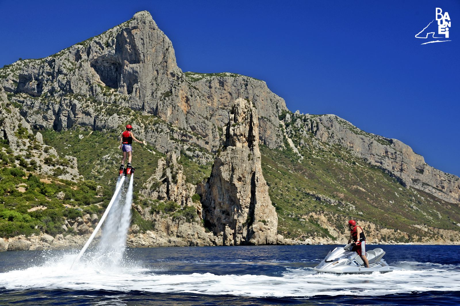
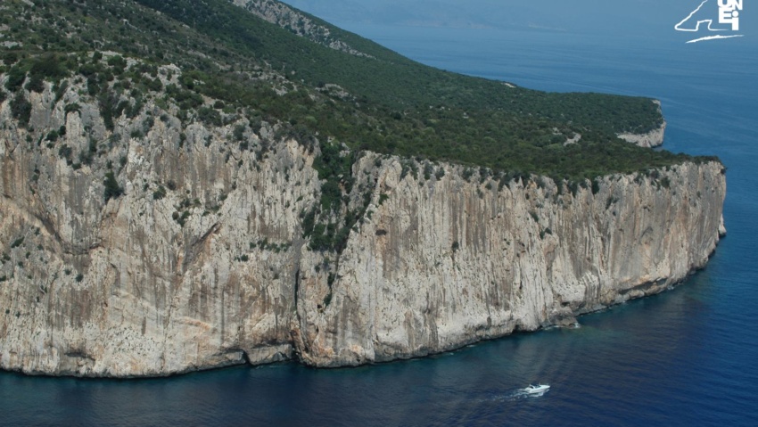
Along the coastline, a few miles north of Santa Maria, is the limestone peak of “Pedra Longa”, a “Natural Monument” since 1993, a prominent point that has always been valuable to sailors, because it could be seen from kilometres away. The location is easily accessible by car: upon exiting the Sardinian Eastern highway at km 153, south of Baunei, there is a road that, following a short uphill stretch (which leads near to the “Ùttolo” tavern), becomes a spectacular and panoramic descent, which reaches the foot of the peak in a matter of minutes.
It is also possible to reach “Pedra Longa” on foot from Santa Maria (two hours’ walk), via a footpath near the “Bellavista Hostel”, above the promontory overlooking the marina. From the square of “Pedra Longa”, facing the bar and restaurant of the same name built in the seventies, a stone staircase that ends a few metres north of the rocky peak leads down to the sea. The rocks to the south of the peak can be reached by following a road that leads to the other square-parking area.
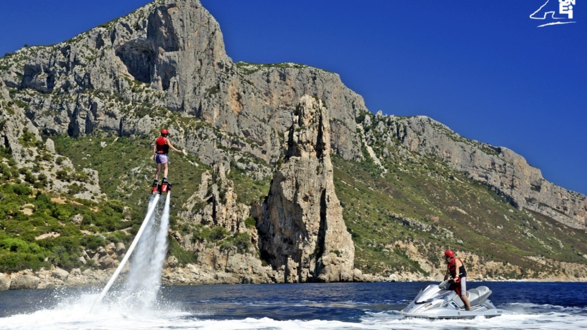
The unique pyramidal peak of Pedra Longa, 128 metres in height, has been for centuries an important and valuable point of reference for all sailors who sailed next to the cliffs of Capo Monte Santu for centuries. In ancient pilot books it is called “Agugliastra” and according to tradition, it is the name from which “Ogliastra” is derived. Angius also held this opinion and when describing the limestone peak of Pedra Longa noted that it “is known under a fitting name, Aguglia, or Agugliastra, from which came the real name of the province, that was not originally called Ogliastra, but rather Agugliastra, as it was also called by and other ancient people”. In the early twentieth century, during the brief period in which the “Su Stabilimentu” lithographic quarry operated, not far from the Pedra Longa peak, a place for docking was created in order to allow cargo ships to load limestone slabs that were transported down the valley via a long cableway.
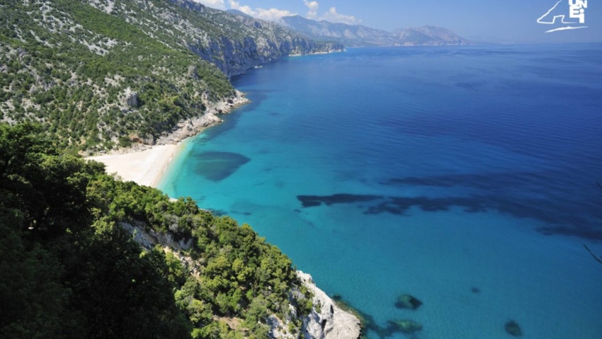
The last northward point on the coast of Baunei that can be reached by car, Pedra Longa is now also known for being the starting point of the famous “Selvaggio Blu” (“Wild Blue”) trek. It is a path that winds along the coastline of Baunei, numbering five or six stages, from Pedra Longa to Cala Luna. It is considered one of Europe’s most spectacular treks among hiking enthusiasts.
